Indoor GPS
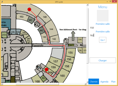
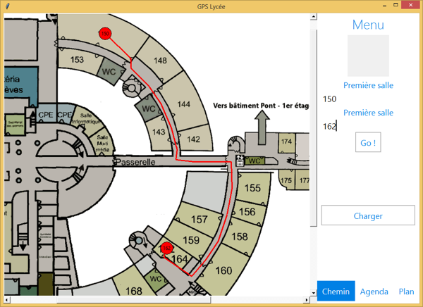
App made in high school for the ISN speciality project. Shows the shortest way to get between two classrooms.
Details
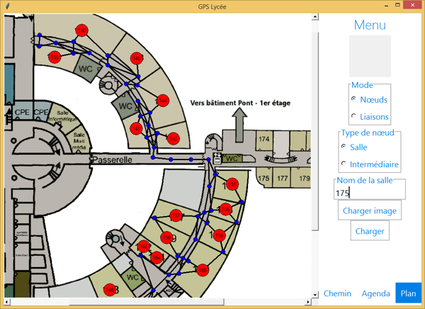
In my last high school year, I had to work on a project for the ISN speciality (Computing Science). I suggested to my friends to create a kind of “GPS” which could show the shortest path between two classrooms of the highschool.
The app is done in Python3 and uses the Tkinter library for the GUI.
The pathfinding algorithm used is A*. I was able to easily implement it thanks to the excellent website Red Blob Games.
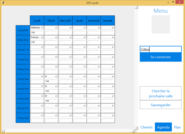
The user can input his timetable to directly get the shortest path from his current classroom to the one of his next class.
An editor is also available to set the nodes and edges on the building's blueprint. You can then save and load different graphs in text files.